Tout l'aspect et les infos pratiques en Sud Val de LoireAcces Carte Itineraire
©Accès, transports, office de Tourisme, brochures...|Pixabay

Getting here and finding your way around

Sud Val de Loire

The Sud Val de Loire benefits from an ideal geographical location just 2.5 hours from Paris, ideal for family get-togethers.

A JOURNEY FROM BEAUVAL AND CHENONCEAU

The ZooParc de Beauval is located in SAINT-AIGNAN, in Loir-et-Cher  (41 Loir-et-Cher)

3 km from SAINT-AIGNAN town centre, which is around 5 minutes in the car.
SAINT-AIGNAN is a town in Loir-et-Cher, located 40 km south of Blois and between Tours (60 km to the west) and Vierzon (70 km to the east), in the Cher Valley.

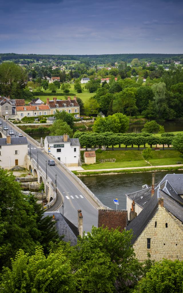
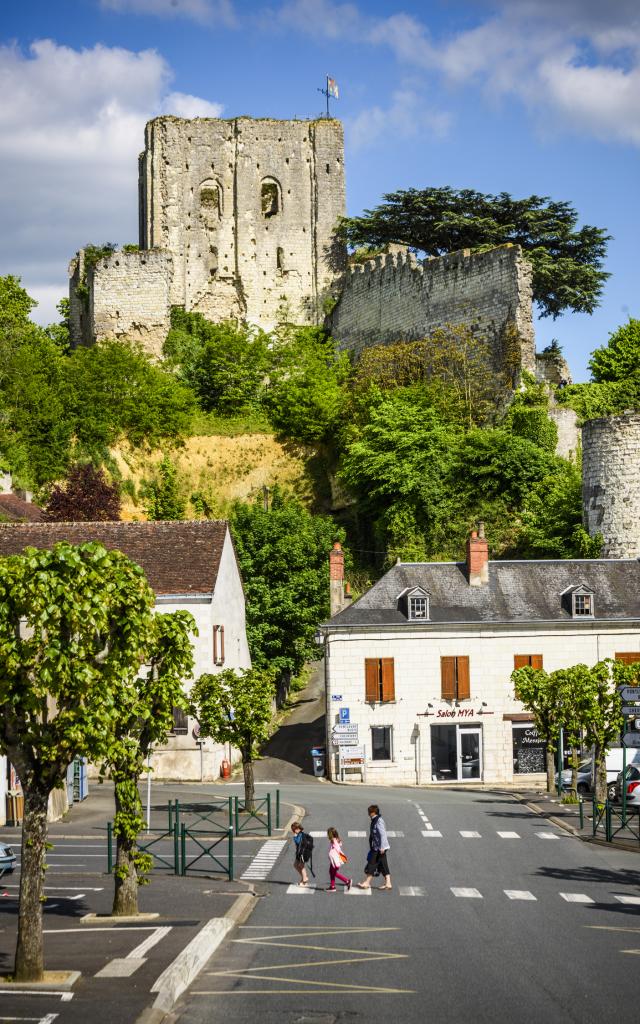
MONTRICHARD is west of SAINT-AIGNAN (approximately 20 km), towards Tours.
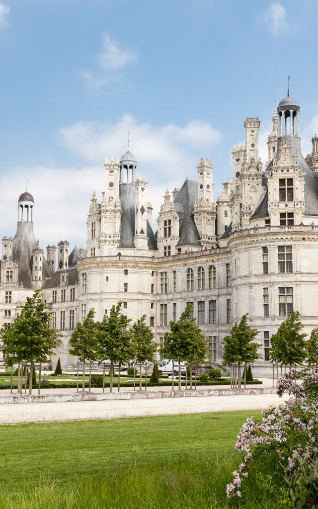
Just 10 km separate Montrichard and the Chateau de Chenonceau; Chenonceau is the second most visited chateau in France, after Versailles.

SELLES-SUR-CHER is located 15 km from SAINT-AIGNAN (on the east – towards Vierzon).
only 15 km separate Selles-sur-Cher and the Chateau de Valençay. 

– 2.5 hours from Paris,
– 3 hours from Nantes, La Rochelle, Rennes and Clermont-Ferrand
– 4.5 hours from Lyon and 5 hours from Lille

How to get here?

Sud Val de Loire

by road

A10 ‘L’Aquitaine’ – Exit 17 – Paris-Bordeaux, via Orléans, Tours and Poitiers with an exit for Blois.

A85: Tours-Vierzon, junction between the Atlantic coast and Eastern France
– Exit 11 – Bléré
– Exit 12 –  Saint-Romain
– Exit 13 – Selles-sur-Cher / Chémery

D976 – Tours-Vierzon-Bourges road
D 675 – Blois – Châtillon-sur-Indre

By train

Montrichard Station
Saint-Aignan/Noyers Station
Selles-sur-Cher Station

Blois Station – Paris – Gare d’Austerlitz
St Pierre-des-Corps Station  – Paris – Gare Montparnasse

By plane:

Tours Val de Loire Airport: regular flights from Marseille, Ajaccio, Figari, London, Manchester, Dublin and Porto to Tours.


FIND OUR TOURIST OFFICES

GPS coordinates of the Montrichard tourist office

Lat: 47.343  – Long.: 1.18622


GPS coordinates of the Saint-Aignan tourist office

Lat: 47.2689592 – Long: 1.3735673


GPS coordinates of the Selles-sur-Cher tourist office

Lat: 47.27614020000001 – Long: 1.5515525000000707

Close